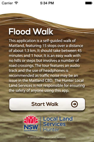


Flood Walk app for iPhone and iPad
Developer: Hunter-Central Rivers Catchment Management Authority
First release : 11 Jul 2013
App size: 24.21 Mb
This app is a self-guided walk featuring 38 historic flood photos of the 1955 and 1949 floods in Maitland, NSW.
A narrative by Maitland historian and flood survivor, Peter Bogan, accompanies the photographs and centres on the stories of flood survivors and his own personal account of the dramatic events that took place in February 1955.
There are 14 stops on the walk, which covers a total distance of around 1.3 km. It should take between 45 minutes and 1 hour to complete.
The photos are best viewed at full screen, which can be done by turning your device to landscape position, and the audio automatically progresses the photos at the relevant point in the narrative.
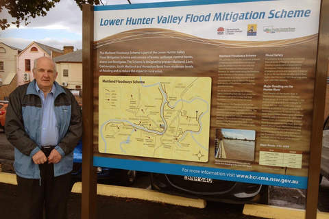
The walk starts at the flood mitigation scheme sign on the Riverside Walkway behind the carpark at the end of St Andrews Street, Maitland, and concludes on the High Street side of the Court House. A map and directions are provided for each of the 14 stops.
This app has been produced as a joint initiative of Hunter Local Land Services (formerly the Hunter-Central Rivers Catchment Management Authority) and NSW State Emergency Service (SES).